01 · APPLICATIONS
Appraisal and filing package, signed.
Area by area across your footprint, Crown land only, ready for the regulator.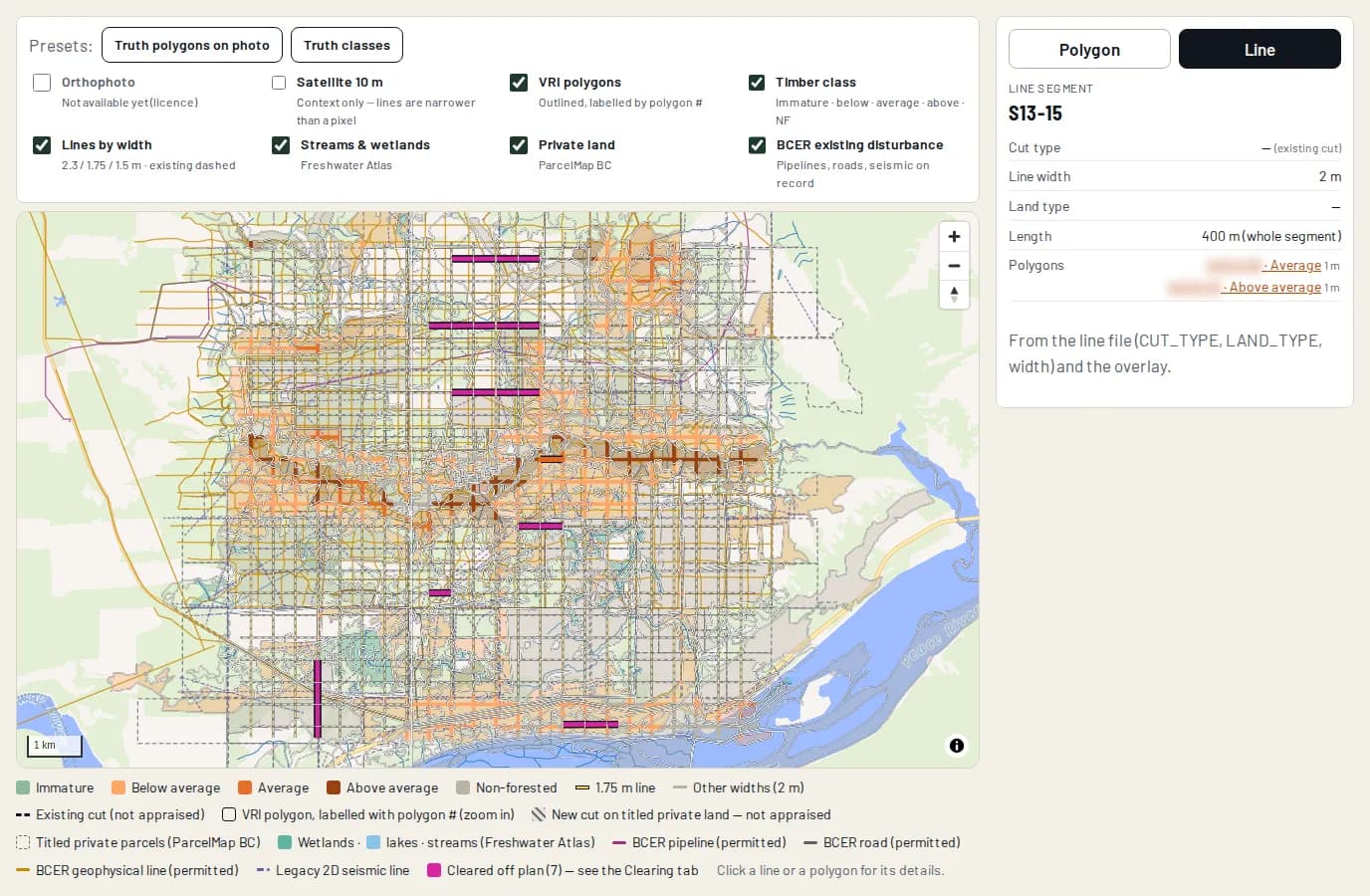
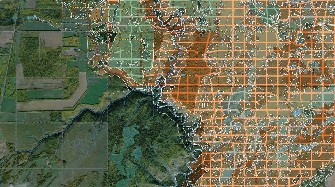
BC timber appraisals are prepared and signed by Jon Gibbons, RPF.
If an energy project cuts Crown timber, stumpage is payable on it according to the interior or coast appraisal manual. For energy projects, the BC Energy Regulator issues cutting permits under a Master Licence to Cut. Elsewhere on Crown land, a holder of a right to occupy the land, such as a lease, applies for an Occupant Licence to Cut.
A registered forest professional. In the Interior, the estimate for a Master or Occupant Licence to Cut of 10 to 250 hectares, or any linear tenure, must be completed, signed and sealed by a Forest Professional registered and in good standing with Forest Professionals British Columbia (FPBC). Timber cruise plans are prepared by a registered or associate member of FPBC, or supervised by a registered member.
It compensates the Government of Alberta when certain approved public land dispositions take forest out of timber use. It is calculated from provincial tables that give a value per hectare by forest cover type, covering the timber, the annual allowable cut lost and future reforestation. Inside a Forest Management Agreement area, the FMA holder bills separately for its own compensation.
Private land is taken out: in BC, Crown timber is timber on Crown land or timber reserved to the government, and private land is land that is not Crown land. The BC Energy Regulator doesn't issue cutting permits for timber reserves on private land, and asks applicants to leave those areas out of new cut area calculations. We check ownership against ParcelMap BC before every appraisal.
For a BC Interior area-based estimate (licences to cut of 10 to 250 hectares and linear tenures): a classed map of the area, the stumpage calculation, a species profile and the total merchantable volume. The map splits the area into five classes, from non-forest to above-average mature forest, checked on the ground, from the air or on imagery. Ours adds the shapefile, maps and values for the application.