01 · SITE PLANNING
The best site and route, in minutes.
Top three options, ranked, with why — on BC and Alberta data.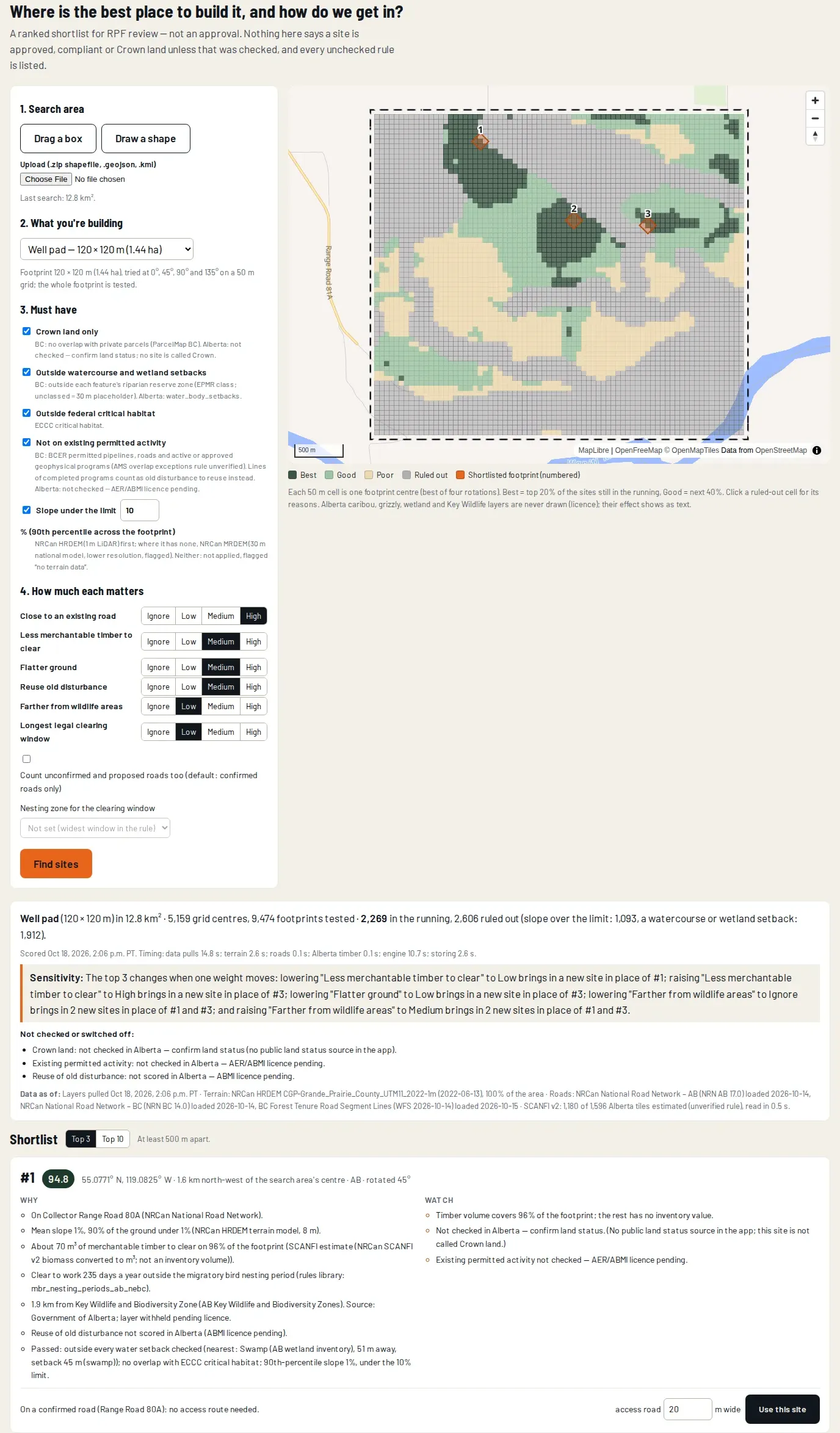
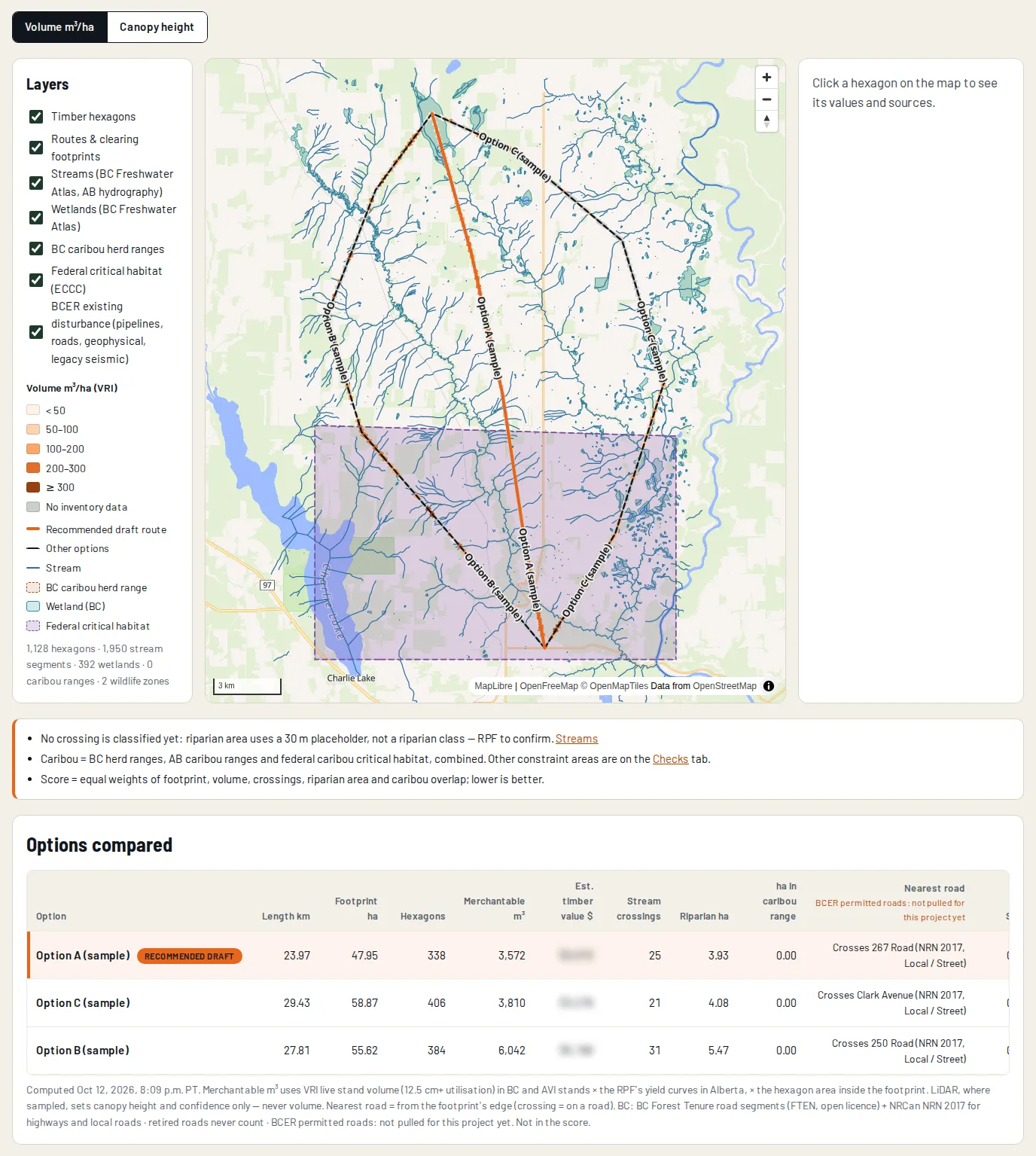
Each option is scored on your criteria, and the top three are ranked with their reasons and what to watch. Candidate sites are tested as whole footprints on a 50 m grid at four orientations, against slope, roads, timber, streams, wetlands, wildlife and tenure. A Registered Professional Forester signs the professional outputs that need one, such as timber appraisals.
Public BC, Alberta and national data, with each source's licence checked and recorded. That includes forest inventory, roads, slope from national elevation models, streams and wetlands, land ownership from ParcelMap BC, and BC Energy Regulator activity. A layer whose licence doesn't allow sharing is used in the analysis only and never shown on a map or in a report.
Yes: reusing existing disturbance is one of the ranking criteria, so options that follow it score higher. Existing roads, lines and cleared areas from the provincial and regulator layers are mapped, so a site or route can follow them where it works.
On Crown land in British Columbia and northern Alberta. Each search pulls the provincial layers over the search area, and a pull that comes back incomplete is named in the results rather than left out quietly.